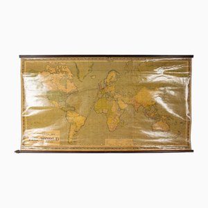
Large Scrolled Map of the World by Philips, 1918
$1,281
You are now following Antique Maps Online Shop | Shop Antique Maps at PAMONO. You can manage alerts in your account settings.
You have unfollowed Antique Maps Online Shop | Shop Antique Maps at PAMONO.
Large Scrolled Map of the World by Philips, 1918
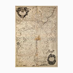
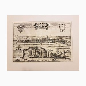
Etching with Map of Racconigi, 1726
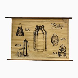
Vintage Educational Board Milk by Georg H. Knickmann, 1940s
Antique Geographical Maps of the French-German War, Set of 4

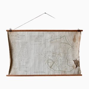
French N°2 Cadastral Plan, 1933
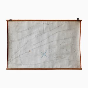
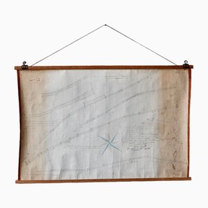
Plan d'Etupes N°3 Chart, 1833
French Plan of 1788, 1825
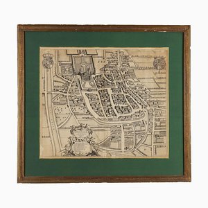
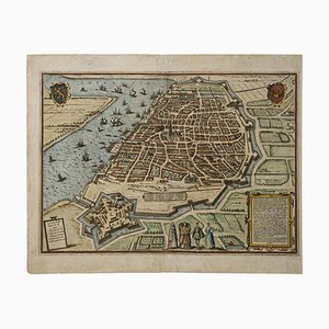
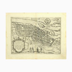
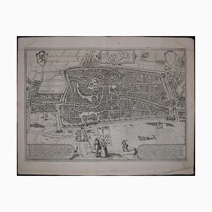
Franz Hogenberg, Map of Antwerp, Etching, Late 16th Century
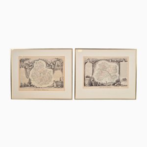
Antique Levasseur La Marne & Cote d'Or Wine Maps, 1852, Set of 2
Old Map of Etupes, 1833
North of France Map, 1710s
Johannes Janssonius, Map of Zeilan, Etching, 1650s
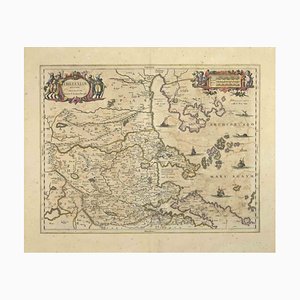
Johannes Janssonius, Map of Macedonia, Etching, 1650s
Johannes Janssonius, Thessalia Map, Etching, 1650s
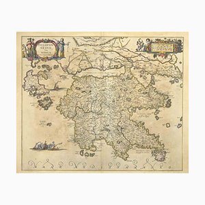
Johannes Janssonius, Peloponnesvs (Greece), Etching, 1650s
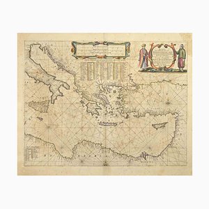
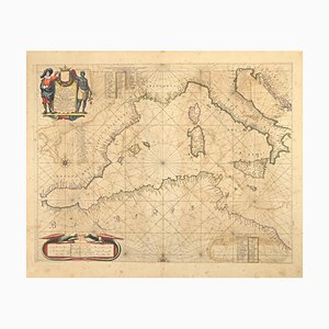
Johannes Janssonius, Maris Mediterranei, Etching, 1650s
Johannes Janssonius, Map of Dalmatia, Etching, 1650s
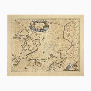
Johannes Janssonius, Map of the Poles, Etching, 1650s
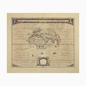
Johannes Janssonius, Orbis Terrarum, Etching, 1650s
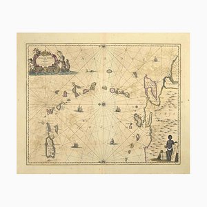
Johannes Janssonius, Gulf of Bengal, Etching, 1650s
Johannes Janssonius, Antique Map of Gallia, Etching, 1650s
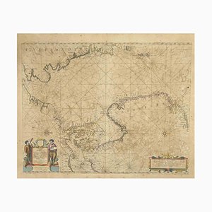
Johannes Janssonius, Oceanus, Etching, 1650s
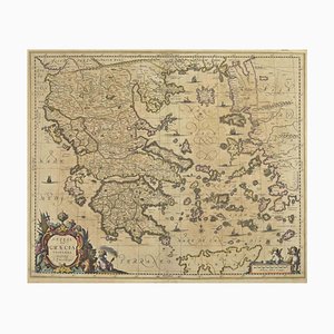
Johannes Janssonius, Antique Map of Greece, Etching, 1650s
Johannes Janssonius, Attica, Etching, 1650s
Johannes Janssonius, Antique Map of Mare Pacificum, Etching, 1650s
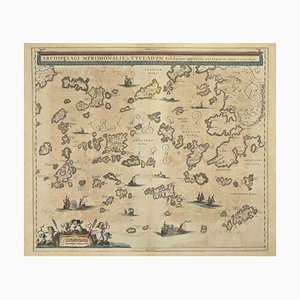
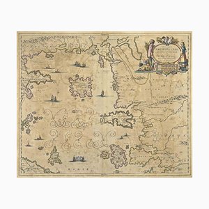
Johannes Janssonius, Antique Map of Archipela Meridionalis, Etching, 1650s
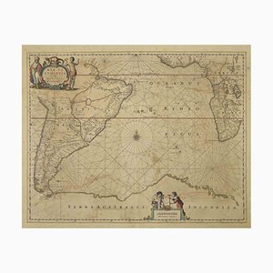
Johannes Janssonius, Antique Map of Mar di Athiopia, Etching, 1650s
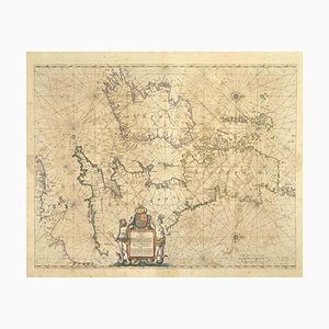
Johannes Janssonius, Freti Canalis, Etching, 1650s
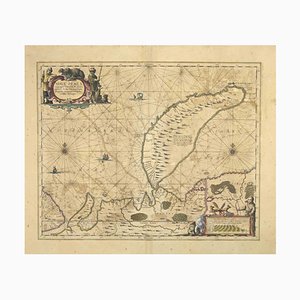
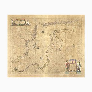
Johannes Janssonius, Nova Zemla, Etching, 1650s
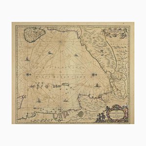
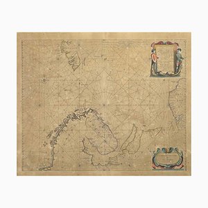
Johannes Janssonius, Oceani Borealis, Etching, 1660s
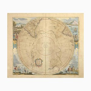
Johannes Janssonius, Polus Antarcticus, Etching, 1650s
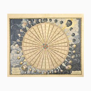
Johannes Janssonius, Anemogra Phica, Etching, 1650s
Johannes Janssonius, Barbarga, Etching, 1650s
Johannes Janssonius, S.Juan de Puerto Rico, Etching, 1650s
Johannes Janssonius, Mare Mediterra, Neum (Map of Malta), Etching, 1650s
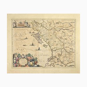
Johannes Janssonius, Epirus Albania, Etching, 1650s
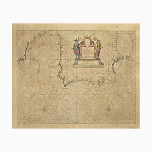
Johannes Janssonius, Mare Atlanticum, Etching, 1650s
Johannes Janssonius, Amstelredam, Etching, 1650s
Johannes Janssonius, Amstelredam, Etching, 1650s
Johannes Janssonius, Archipelagus Septentrionalis, Etching, 1650s
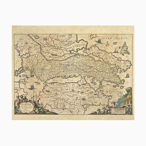
Johannes Janssonius, Achaiae Noua, Etching, 1650s
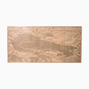
Very Large Mid-19th Century Venice Map Engraving
American Red Cross Map of Italy, First World War, 1919

Antique Naval Map of Australia, 1888

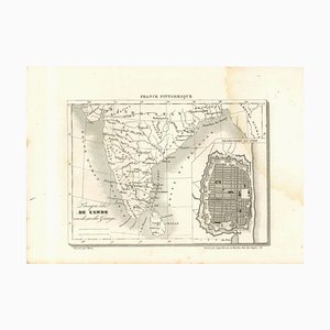
Original Lithographic Map of India, 19th Century
Wall Decoration Map, 1833
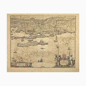
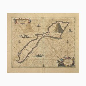
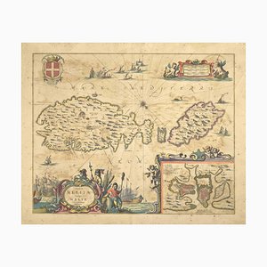
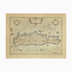
Map of Crete Etching by Johannes Blaeu, 1650s
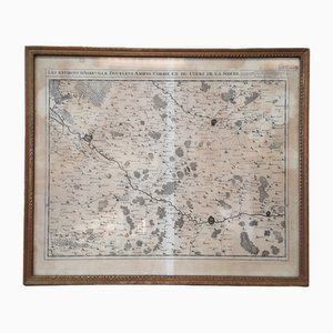
Les Chemins de Mr Deschamps Chart
19th Century Map of Africa Etching

Antique Watercolor Print Map or the Americas, 1890s
Chorographic Map of Portugal, 1942
Beech Asia Map, 1940s
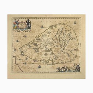
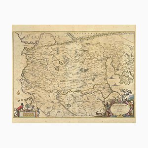
Cartographic Map of the Russian Empire by Frederick De Wit, 17th Century

Varsavia Superiore e Inferiore Etching Map by Vincenzo Maria Coronelli, Late 17th Century
Map of Magdeburg Etching by G. Braun & F. Hogenberg, Late 16th Century
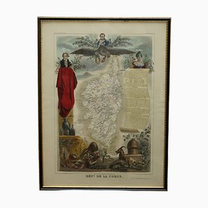
French Hand Watercolour Map of Dept des la Corse, 1856
French Hand Watercolour Map of Dept des Hautes Pyrenees, 1856

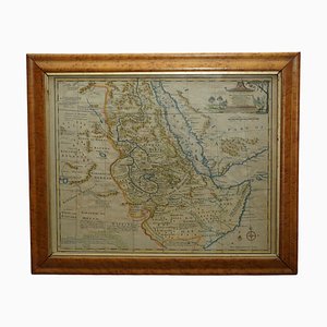
Watercolour Map of East Africa by Eman Bowen, London, 1744
French Hand Watercolour Map of Dept des Hautes Pyrenees, 1856
A. Ortelius, Theatrum Orbis Terrarum, 1573, Watercolored Etching, Framed
A. Ortelius, Theatrum Orbis Terrarum, 1572, Watercolored Etching, Framed
Map of Italy Drawn & Engraved by R. Scott for Thomsons, Edinburgh, 1814
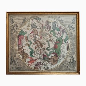
Celestial Chart, 1702
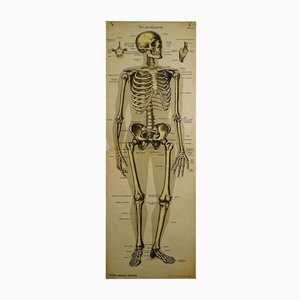
Antique Human Skeleton Anatomical Wall Chart
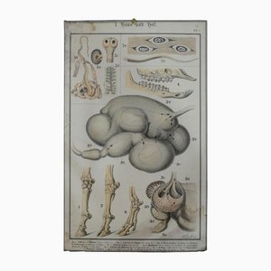
Old Home and Garden Anatomical Farm Animal Wall Chart Print
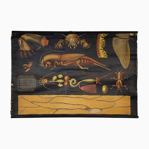
Antique European Mole Cricket Gryllotapla Rollable Wall Chart by Jung Koch Quentell
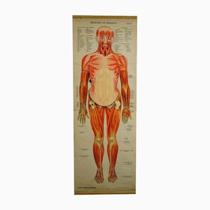
Antique Human Musculature Foldable Anatomical Wall Chart
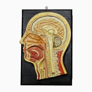
Antique Teaching Aid Median Incision of the Human Head, 1920s
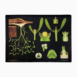
Antique Mistletoe Christmas Decoration Wall Chart Poster by Jung Koch Quentell
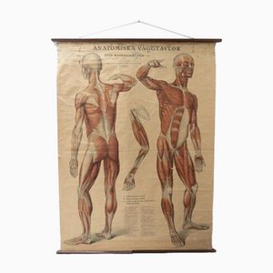
Vintage Swedish Anatomical Medical Wall Hanging
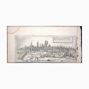
Munchen, Antique Map from ''Civitates Orbis Terrarum'' - 1572-1617 1572-1617
Moscow /Moscovia Antique Map, Civitates Orbis Terrarum by Braun and Hogenberg 1572-1617
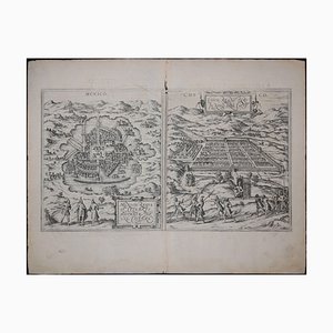
Mexico City & Cusco Antique Map, Civitates Orbis Terrarum by Braun & Hogenberg 1572-1617
Limbourg, Antique Map from ''Civitates Orbis Terrarum'' 1572-1617

Windsor, Antique Map from ''Civitates Orbis Terrarum'' 1572-1617
Danzig, Antique Map from ''Civitates Orbis Terrarum'' - 1572-1617 1572-1617
Utrecht, Antique Map from ''Civitates Orbis Terrarum'' 1572-1617
Corfu, Big Antique Map from ''Civitates Orbis Terrarum'' - 1572-1617 1572-1617
Bilbao, Antique Map from ''Civitates Orbis Terrarum'' - by F.Hogenberg - 1572-1617 1572-1617
Stade, Antique Map from ''Civitates Orbis Terrarum'' - by F.Hogenberg - 1572-1617 1572-1617
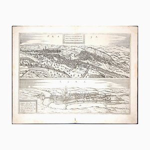
Prague and Egra, Antique Map from ''Civitates Orbis Terrarum'' 1572-1617
Stade, Antique Map from ''Civitates Orbis Terrarum'' - 1572-1617 1572-1617
Buda, Antique Map from ''Civitates Orbis Terrarum'' - 1572-1617 1572-1617
Nuremberg, Big Antique Map from ''Civitates Orbis Terrarum'' - 1572-1617 1572-1617

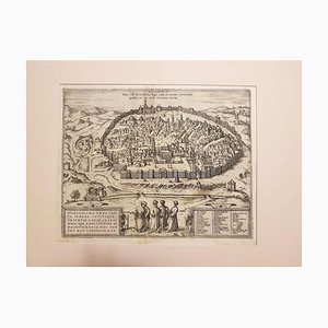
Jerusalem, Antique Map from ''Civitates Orbis Terrarum'' - 1572-1617 1572-1617
Prague and Egra, Antique Map from ''Civitates Orbis Terrarum'' - 1572-1617 1572-1617
Antique Globe by Hammet and Bacon, 1910s

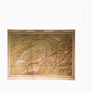
Vintage Geographical Map of Switzerland, 1930s
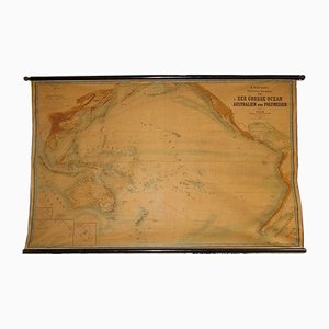
Large Wall Map by Heinrich Kiepert for Lithographische Anstalt Leopold Kraatz, 1886
Trending